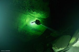
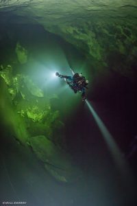
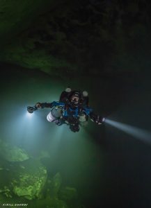
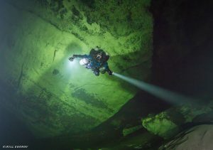
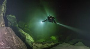
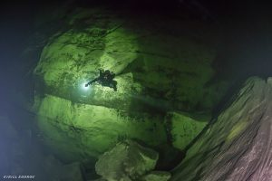
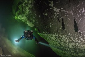
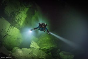
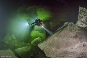
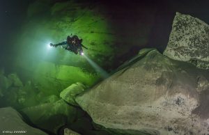
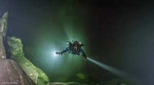
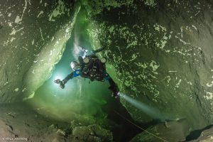
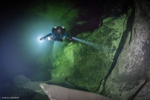
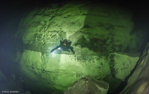
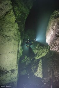
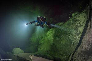
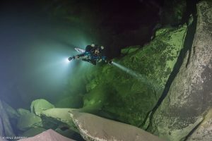
Deep Salt Spring is in Werner Boyce State Park in Port Richey, Florida. The cave is in a tidal marsh on the Florida Gulf coast along a popular kayaking trail approximately 100 feet upstream the “Tidal Waterfall” which is a natural limestone bridge that can be seen at low tide. The spring vent forms an irregular opening in the side wall of the marsh at its junction with the bottom just a few feet below the surface. During low tide the spring will discharge fresher and clearer water and at high tide it will siphon the saltier marsh water into the cave below. The first 40 feet of the cave’s entrance is horizontal and has several major restrictions that can be challenging in low visibility encountered in this section of the cave. The cave is a steep vertical fissure the drops though a series of large chambers. The first large room is the Shag Room beginning at 127ffw, it is full or tannic brown water and easily identified by the dark brown biofilm covering the walls and ceiling resembling shag carpet. At the bottom of the Shag Room is a halocline, the interface of fresh and salt water. Below the halocline the water has a slight hint of emerald green, giving the room its name. The deepest room is the Emerald Room at a depth of 245-330ffw.
Facts of Deep Salt Springs – Werner Boyce State Park
Max Depth: 372 feet
Surveyed passage: About 2430 feet and growing
First Dived by Brett Hemphill, KUR President
Deep Salt should be considered an advanced trimix dive for several reasons: poor visibility, extremely silty, low flow that will reverse with the tides, old line that can be difficult to see with multiple navigation decisions, and there are several parallel passages that divers can inadvertently take. No scooter is needed. A familiarization dive is required with someone that has been there before for two reasons: park knowledge for the road/parking and the cave configuration. The second diver and all those after will not be able to see the entrance or much until the vertical descent begins at 25-30 fsw. There are gear line loops for deco cylinders at 20’, 70’, 120’ and 190’. Most dives only require at least a 20’ and 70’ bottle. Longer durations are possible just scale based on your plan. The cave has a maximum linear penetration of 420 feet from the surface but a max depth of nearly 380 fsw in the Emerald Room. The dive duration is not distance dependent. There are some very beautiful sections of this cave: the Emerald Room typically has visibility of 60-90 feet as does its sister section in the back of the Shag Room named Bartley Hall. Bartley Hall’s max depth is ~275 feet. There are several T ‘s in the line you will need to mark. Dives can be planned as normoxic trimix and limit to the upper Shag Room (20-40 feet of vis) or as hypoxic and include the entire cave. Run time in normoxic would be 90-120 minutes and hypoxic up to five hours depending on plan. The first circuit line you encounter is the Shag Room and lies at 180-190 feet on the vertical guideline. Go either way. There are several T intersections on the circuit line. Batley Hall is at the apex of the circuit and is in a larger open section with good visibility. It is not recommended to take either of the two T’s that lie a few feet apart and are skinny exploration line. Both are significant sidemount restrictions and have several places without the ability to turn around and may have zero visibility on entrance and worst at exit. The Emeral Room circuit starts in ~250 fsw of water after a “doorway” sized restriction. There is a second loop inside the Emerald Room that is not a circuit. Feel free to take it but plan accordingly. You may notice that the Emerald Room is connected to the Shag Room except for one small section of breakdown. It’s interesting to note the different waters do not mix and you can notice the stark line on the wall where the two waters meet. There is no line that connects the Emerald Room to the Shag room currently.
Contact The Site Manager
Bob Beckner
Phone: 941-445-2631
Map & Location Information:
Goals & Objectives:
- Continue Exploration of known leads
- Explore for new leads: Bartley Hall, etc
- Re-Survey entire cave, surface to all points
- Produce map and KML
- Test survey and video tools: mapper and 360 camera
- Photo and video documentation of cave passages
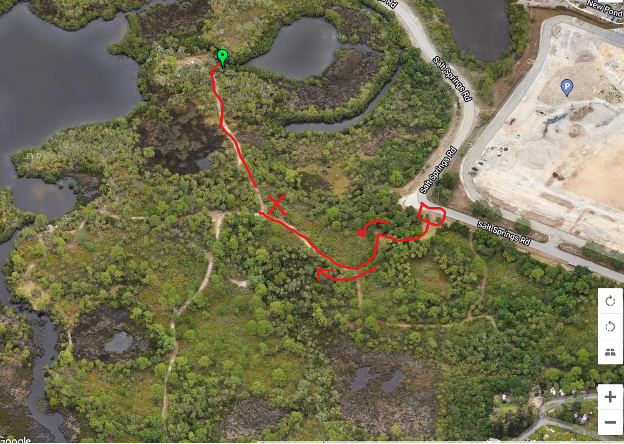
Meet at the gate at the box on Salt Springs road. Combo is 1917. Park at the X. Walk to the green Pin.
The X has an informational sign and several obvious spots to park. A cart/hand truck is helpful. Display permit and KUR signage. Be nice to everyone here. This park’s fans are rabid.
