Projects
Rock Bluff Spring
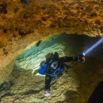
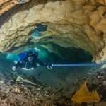
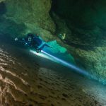
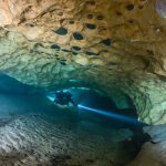
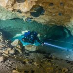
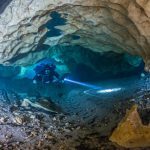
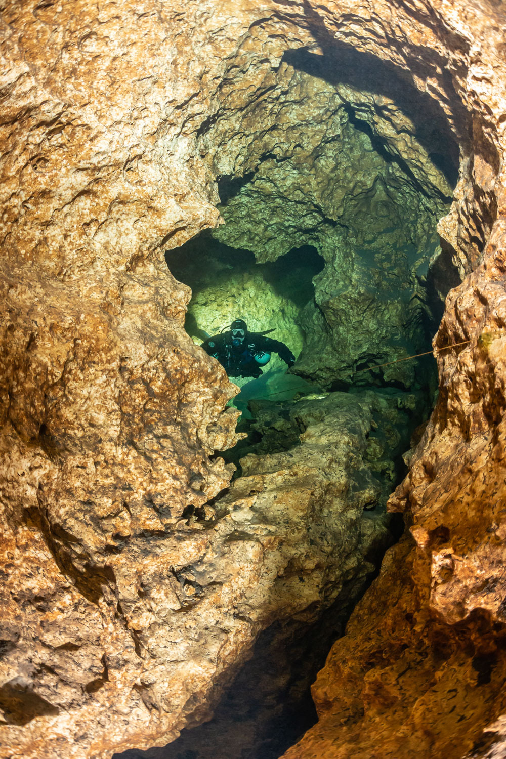
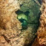
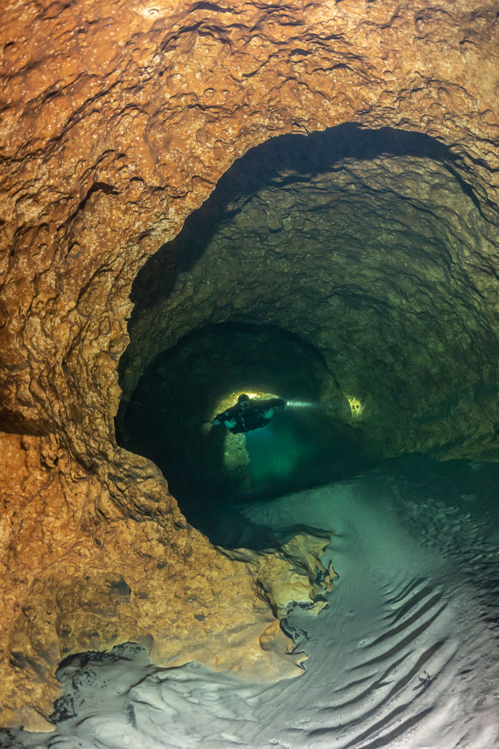
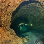
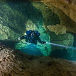
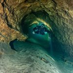
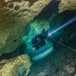
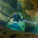
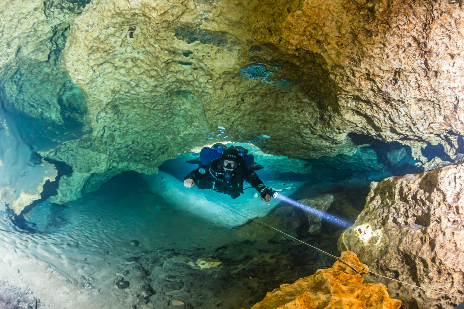
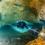
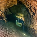
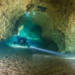
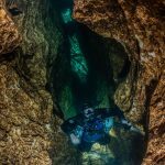
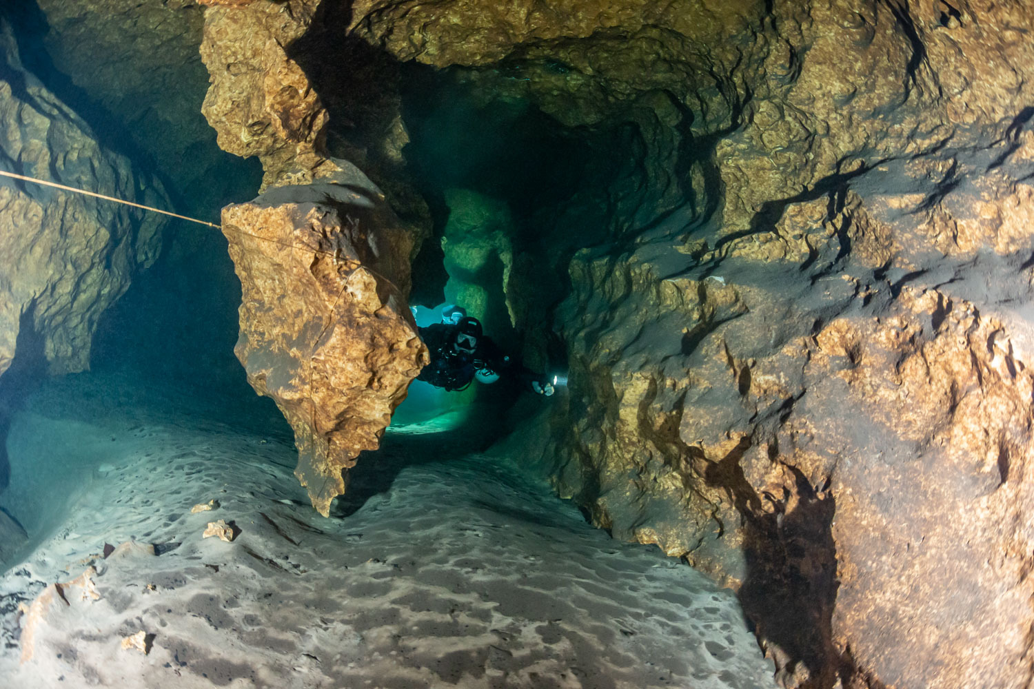
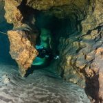
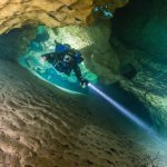
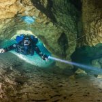
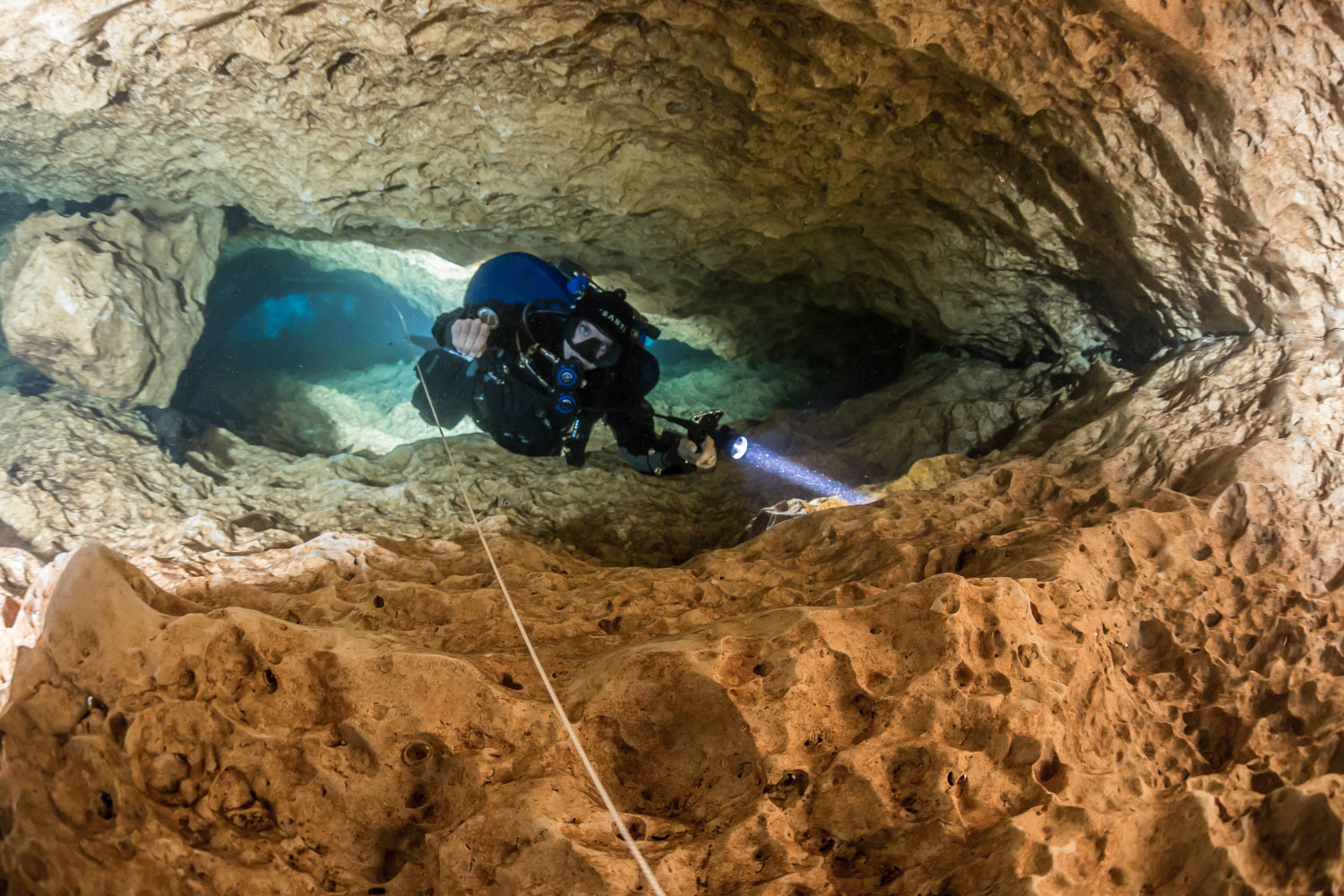
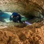
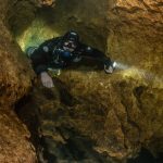
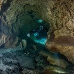
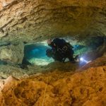
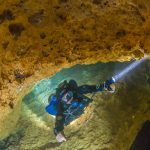
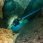
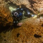
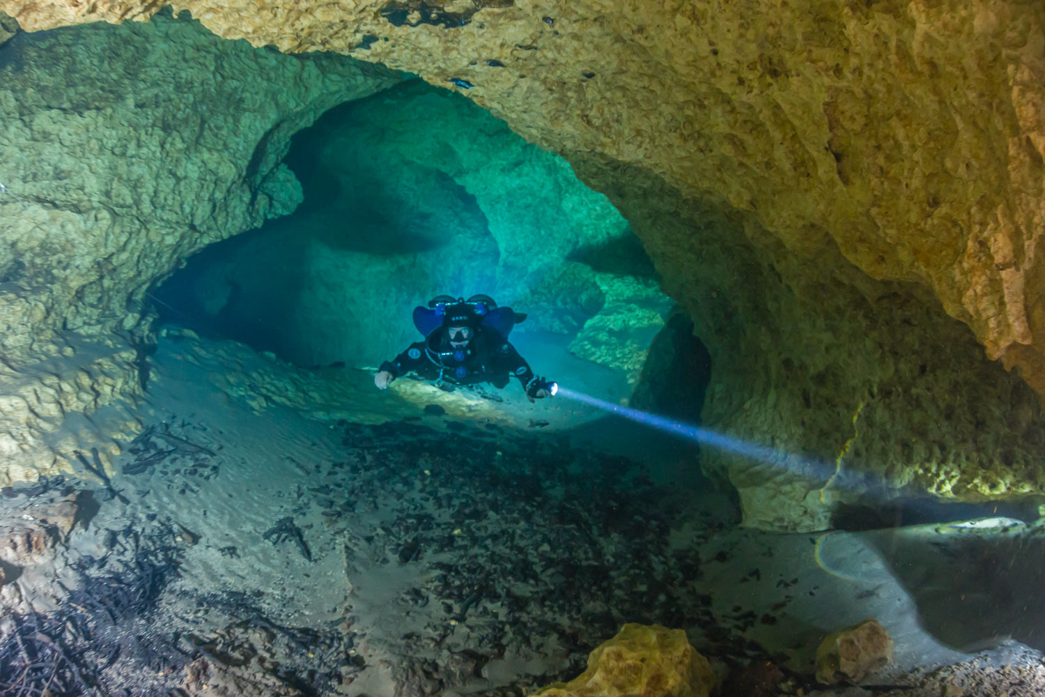
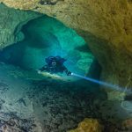
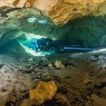
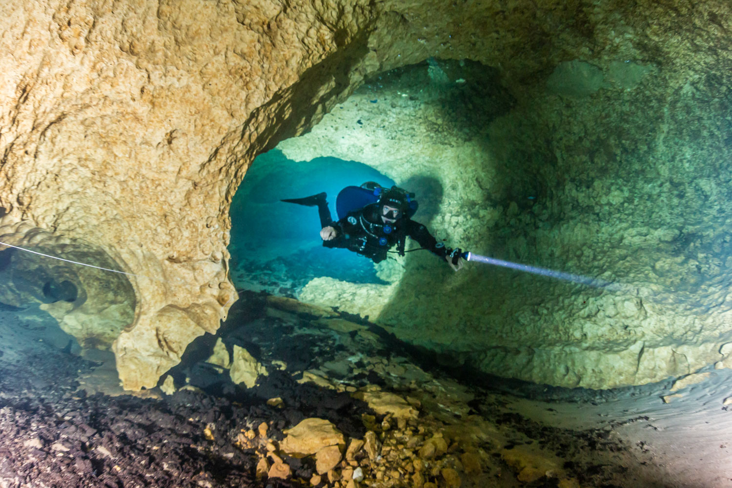
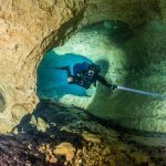
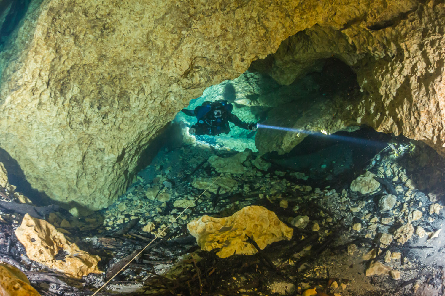
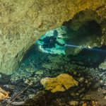
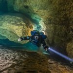
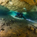
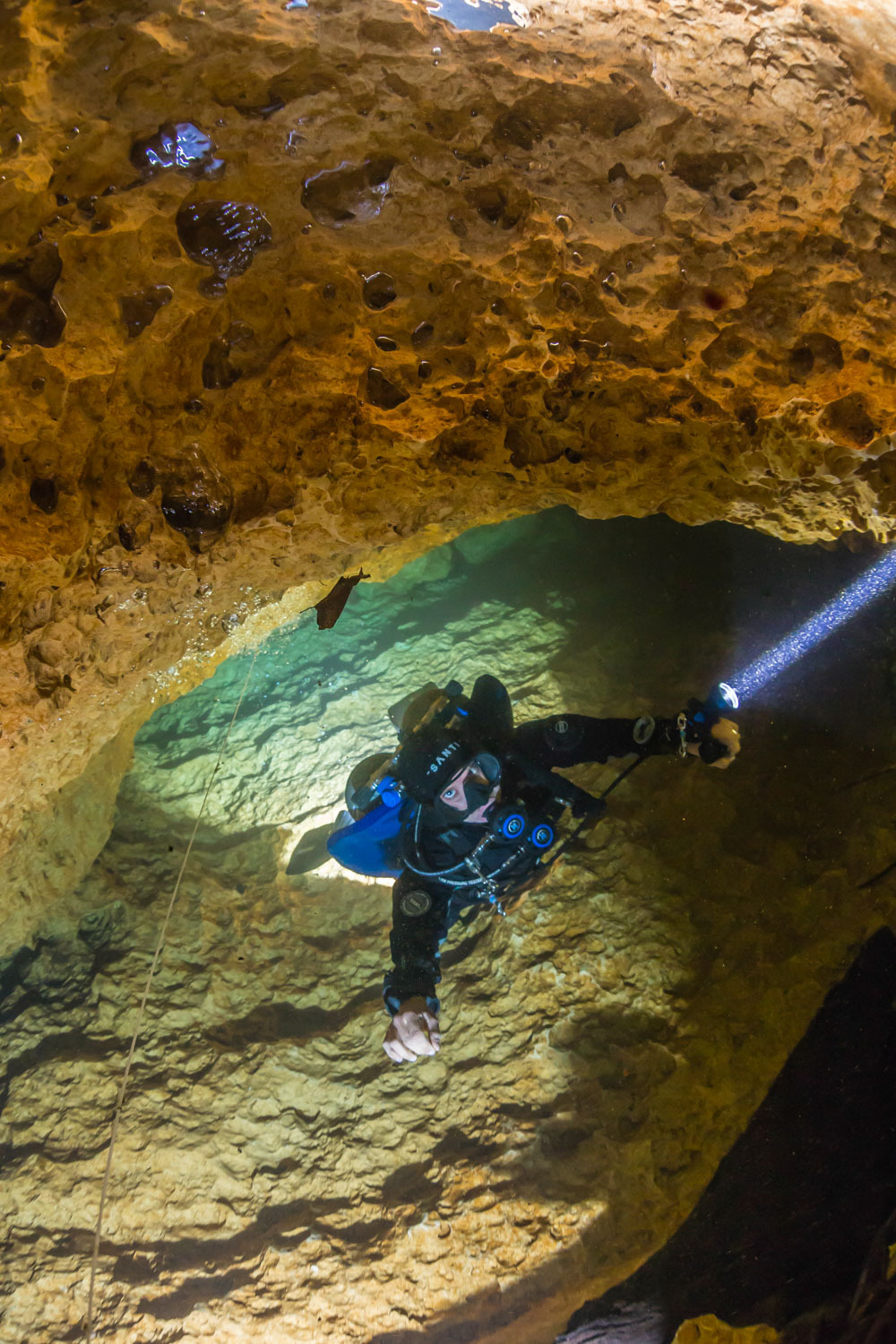
Famous for the incredibly tight entrance to the main spring head, Rock Bluff is an exciting and seldom visited cave system on the Suwannee River near the town of Bell in Gilchrist County Florida. The cave is located on property owned by the Suwannee River Water Management District and managed in conjunction with the Alachua Conservation Trust. Rock Bluff is a second magnitude spring with several karst windows giving access to two distinctly different water sources, one from the north and one from the south. These two water sources join into one passage and emerge from the main spring head shortly thereafter. Current KUR activity in this cave includes ongoing exploration, resurvey and photo documentation.
Facts of Rock Bluff Spring
-
Max depth: 62’
-
Surveyed length: 6,000’+
Contact The Site Manager
Teddy Garlock
Teddy: 585-313-4038
Other Site Information:
Goals & Objectives:
- Complete survey
- Cartography
- Line cleanup
- Exploration
NOTE:
- Plan must be submitted to teddygarlock@gmail.com and diveplan@karstunderwater.org no less than 4 days in advance, and post-dive data and report should be completed and sent to Teddy within 5 days’
- You must post a copy of the permit on your dash
- Surface support not required
- Please consult member manual for complete parameters, reach out with any questions.
Goals and objectives:
- Entire north source needs to be resurveyed
- Lead off of Beaver Spring needs to be surveyed, Teddy put in some line here in 2016, maybe another 200’
- Frog sink upstream survey needs to be completed, evaluated for potential exploration
- EOL in south source set in 2019, last 200’ has not been surveyed, needs to be. There is potential at EOL but there are multiple bottles off restrictions leading to it.
Main Entrances:
Rock Bluff Spring: (29.79921, -82.91863)
This is the entrance you’ve heard about. Tight, high flow, fun. Sidemount is a necessity. Once inside the passage quickly branches, with the northern source heading left and the southern passage a tight right. The southern passage leads to Rock Bluff Sink, and futher onward Turtle Spring. The northern passage ends in a bedrock restriction.
Rock Bluff Sink: (29.79807, -82.91693)
This entrance is just off the road and is an offset sink with an upstream and downstream. Upstream takes you towards Frog Sink and the EOL. The EOL was set by Teddy Garlock following a lead from Brett Hemphill. Reaching the EOL requires multiple bottles off restrictions and ends in a sand-floored bedding plain with limited options for progressing.
Frog Sink: (29.79825, -82.91557)
Located in a secluded and flood-prone section of the property, Frog Sink is a challenging sidemount cave that does connect back to the main system following the downstream passage.
Image Gallery