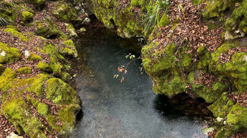
The Crack is a cave system located off the Withlacoochee River in the Twin Rivers State Forest. Cave diving access is not open to the public. The hallmarks of the system include restrictive entrances and a fissure crack (joint) in the front of the cave where the depths drop from 30ft to 150ft in one dramatic go. This significant depth change in one joint is a feature not often seen in area caves. After this fissure crack, the depths are very consistent in the 140s and 150ft deep eventually trending down to at least 175ft deep.
The system features a spring entrance from the river and a sink entrance off an intermittently flowing spring run. These two entrances are most certainly connected; but it has not yet been traversed or connected via survey due to significant restrictions. Much of the cave runs along joints with phreatic passage in between, as well as some branching passages, periodic low and silty bedding planes, and at least two intersecting joints. Some of these branching passages loop back to the main passage while some remain yet unexplored. This cave is extremely sensitive to rainfall in Northern Florida and Southern Georgia and is easily reversed as the Withlacoochee River rises, making clear conditions for exploration and survey work infrequent and intermittent.
The original discovery and exploration of this cave was done by Guy Bryant and Court Smith in 1982. Most of the original knotted line survey was done by Bryant in the early and mid-1980s with a maximum penetration of 1123ft surveyed, as measured from the sink entrance. Some additional line was added by Tom Morres and others between the mid-80s and 1999; if this additional line was surveyed, we are unaware of the data’s location.
KUR has been working at this site since late 2021 and has re-lined when necessary due to damaged line, unknotted line, or line knotted on non-standard intervals. KUR has explored past the prior end of the line. The current survey efforts are improving on the detail included in the 1980s survey, as KUR’s work included both knotted-line survey and walls at minimum. The current surveyed passage is a maximum penetration of 2370ft, as measured from the sink entrance and all including walls data; side passages are not included in this total. The cave and survey continue at this site as mother nature allows.

